For who is this course for ?
PhD students in the social sciences and humanities whose research involves a spatial dimension, with sets of objects to be geolocated, primarily in history and archaeology, but not exclusively (sociology, psychology, demography, economics, etc.)
Description of the course
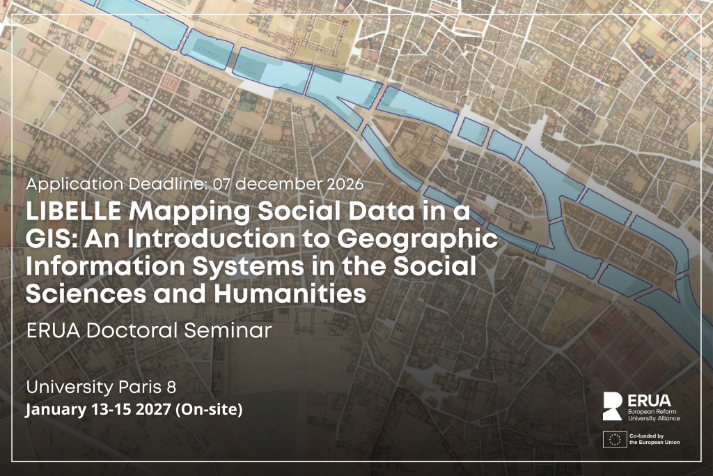
This course offers an introduction to GIS (geographical information systems) in order to spatialise social data and analyse their geographical dimension. The aim is to enable PhD students specialising in social thematic research, and not in geomatics, to learn the basics of GIS, so that they can structure the geographical component of their sources by themselves. The aim is to produce maps showing the distribution of objects that underpin the scientific discourse, that means they will learn how to create analytical (rather than illustrative) maps that form the basis of their analyses. The training will be practical (rather than theoretical) and based on historical data about medieval and modern Paris, but may be useful for any social research topic involving data with a geographical component (history, archaeology, demography, sociology, economics…).
The specific aim is therefore to learn how to create analytical (rather than illustrative) maps that form the basis of the analysis proposed by researchers as part of their thesis. The training will be based on historical data, but may be useful for any social research topic involving data with a geographical component.
Program
1) Overview: definitions and data import: 3 hours
- definitions (difference between a project and a data layer; geometric and attribute data; georeferencing)
- panels and toolbars
- types of geographic data (raster/vector; file formats)
- importing geolocated data
- projection systems
2) Producing geolocated data: 6 hours
- georeferencing raster maps (the ‘Georefencer’ extension)
- creating vector layers
- entering geometric data and editing vertices (point, line, polygon; modifying a polygon; cutting and merging tools)
- editing attribute data (field types, field calculator)
- joining an external table
3) Analysing geolocated data: 6 hours
- attribute (SQL) and geometric queries
- basic statistics
- statistical mapping (equal intervals, Jenks)
- density (or heat) maps, convex hulls
4) Laying out geolocated data: 3 hours
- creating maps from the current view (framing and scale relationships between the current view and the layout)
- inserting the north arrow, legend, scale bar and copyright notice
- exporting maps in various formats (raster, PDF, SVG)
Requirements
The training course focuses on mastering the QGIS (QuantumGIS) software: PhD students must have their own computers capable of running the software and with at least 30 GB of free space on their hard drive (internal or external). The software can be installed on Windows, Linux or Mac. Please note that the trainer is not familiar with Linux and Mac environments, and that the specific features of these operating systems will not be covered during the training.
Special requirements
TECHNICAL OBLIGATIONS
- have installed the free, open-source QGIS software on your computer (from the website: https://qgis.org/)
- have downloaded the base data, which will be accessible via Moodle
READING ADVICE
- It is strongly recommended that you read the article by Hélène Noizet: ‘Why and How Should Medieval Space Be Digitised? The Productive and Heuristic Contributions of Geographic Information Systems to Medieval Studies’, which will be provided in both French and English if your application is accepted.
Learning outcomes
- basic use of QGIS software
- importing and creating raster and vector geospatial data
- georeferencing raster maps
- manual vectorisation
- joining attribute data
- SQL (Structured Query Language) and geometric queries
- cartographic analysis of quantitative and qualitative data
- production of summary maps
Assessement methods
Seminar delivered as a practical session: presentations on techniques for using the QGIS software by the teacher; then applications by the students, with practical exercises based on the example of Paris from the 13th century to the present day. The data used is available on the ALPAGE project website: https://alpage.huma-num.fr/
Application Requirements
Applicants are asked to submit:
- A short CV
- A brief paragraph describing their current research project and their interest in research-creation
Please submit your application to coordination.ed@univ-paris8.fr and helene.noizet@univ-paris8.fr.
This information will help us better understand the participants’ backgrounds and tailor the seminar to their projects.
Supervisory team
Noizet Hélène, Senior Lecturer, Medieval History, P8, helene.noizet@univ-paris8.fr, 06 16 78 40 01